In this tutorial, we’ll explore how to measure slope and horizontal distance within VoidMapper. These measurements are essential for assessing terrain features, analyzing slopes, and planning construction projects. With VoidMapper’s tools, you can accurately calculate slope gradients and horizontal distances, empowering you to make informed decisions based on your point cloud data. Let’s delve into the steps for measuring slope and horizontal distance.
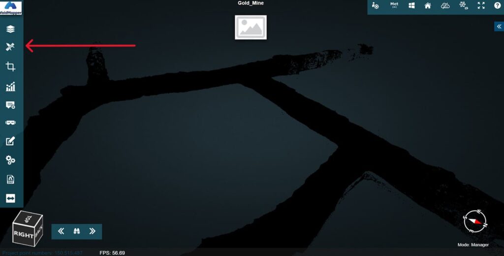
1. Find the tools.
When previewing a point cloud dataset, click on the measurement tool. It is the compass icon found on the left tools sidebar. This will display the different options you have to make measurements.
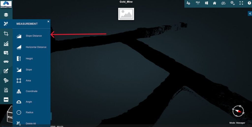
2. Measure “Slope Distance”.
Select Slope Distance. Now go back to the point cloud dataset to and draw Point A and Point B to measure the distance between these to points. You can draw these points by clicking anywhere on the point cloud dataset.
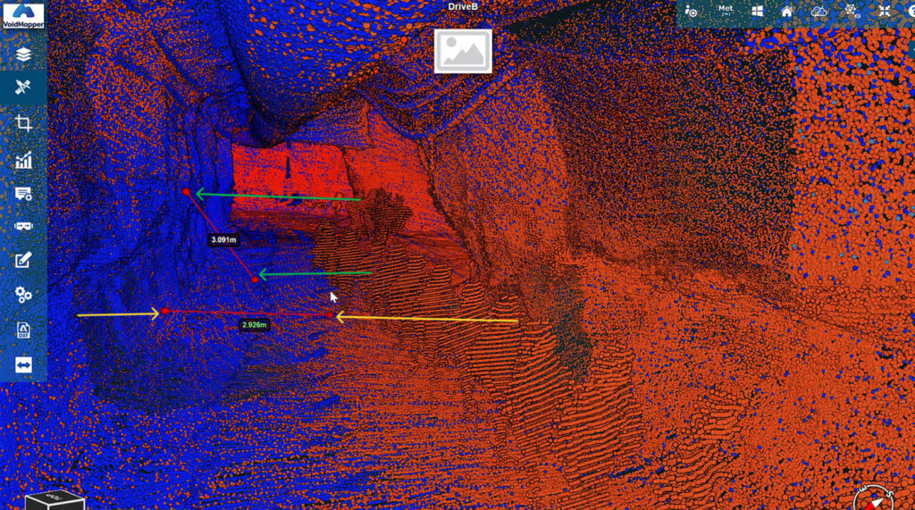
Analyse the data.
You will find the measurement displayed in between the two points. In the example below you can see the Slope Distance pointed out by the green arrows.
3. Measure “Horizontal Distance”.
Select Slope Distance. Now go back to the point cloud dataset to and draw Point A and Point B to measure the distance between these to points. You can draw these points by clicking anywhere on the point cloud dataset.

Analyse the data.
You will find the measurement displayed in between the two points. In the example below you can see the Horizontal Distance pointed out by the yellow arrows.