Coordinates measurement on point cloud dataset programs involves the precise extraction and analysis of spatial data points, representing objects in a 3D environment. These point clouds are generated from various sources like laser scanners, photogrammetry, or LiDAR systems
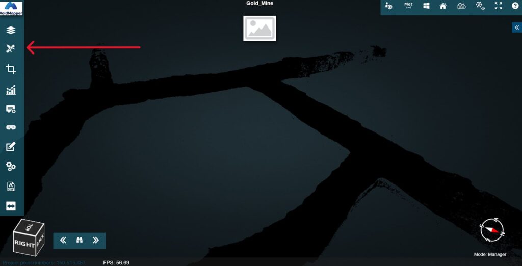
1. Select the Measurement Menu
Click on Measurement
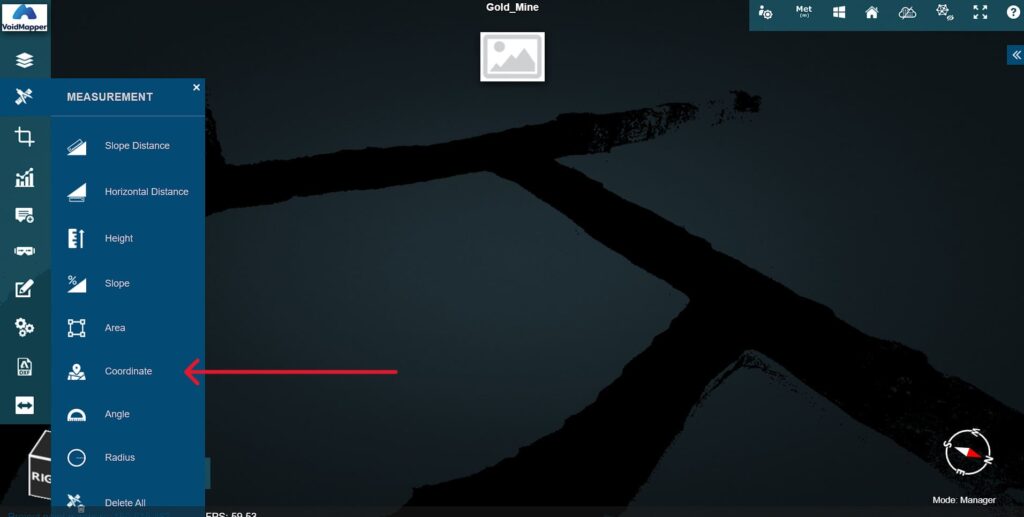
2. Select Coordinate icon on the left tab.
Click on Coordinate.
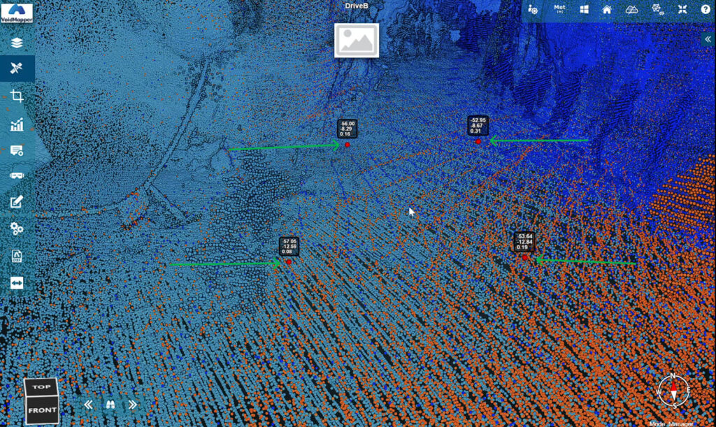
3. Draw dots with mouse to measure.
Measure by clicking on the map and creating dots for Coordinates